Alertes en vigueurClinton, TX
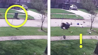
Do not drive cars through flooded areas.Caution is urged when walking near riverbanks.Additional information is available at www.water.noaa.gov/wfo/FWD.
...The Flood Warning continues for the following rivers in Texas...Cowleech Fork Sabine River At Greenville affecting Hunt County....The Flood Warning is extended for the following rivers in Texas...Navasota River Near Easterly affecting Leon and RobertsonCounties.* WHAT...Minor flooding is occurring.* WHERE...Cowleech Fork Sabine River at Greenville.* WHEN...Until late tonight.* IMPACTS...At 15.0 feet, Caution should be exercised near the riveras water begins to flow out of the banks.* ADDITIONAL DETAILS...- At 12:45 PM CDT Thursday the stage was 15.6 feet.- Bankfull stage is 14.0 feet.- Flood stage is 14.0 feet.- Forecast...The river is expected to fall below flood stagelate this afternoon and continue falling to 4.9 feet earlyTuesday afternoon.