Alertes en vigueurCat Corner, TN
You should monitor later forecasts and be alert for possible FloodWarnings. Those living in areas prone to flooding should be preparedto take action should flooding develop.
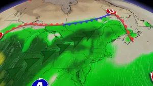
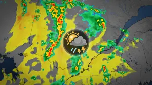
* WHAT...Flooding caused by excessive rainfall continues to bepossible.* WHERE...Portions of East Arkansas, including the following areas,Clay and Greene, Southeast Missouri, including the followingareas, Dunklin and Pemiscot, and West Tennessee, including thefollowing areas, Benton TN, Carroll, Dyer, Gibson, Henry, Lake,Obion and Weakley.* WHEN...Through this evening.* IMPACTS...Excessive runoff may result in flooding of rivers,creeks, streams, and other low-lying and flood-prone locations.Flooding may occur in poor drainage and urban areas.* ADDITIONAL DETAILS...- A series of low pressure systems will bring near 2 inches ofrain with higher amounts possible.- http://www.weather.gov/safety/flood