Alertes en vigueurSouth Spring, NM
Turn around, don't drown when encountering flooded roads. Most flooddeaths occur in vehicles.Even 6 inches of fast-moving flood water can knock you off your feetand a depth of 2 feet will float your car. Never try to walk, swim,or drive through such swift water. If you come upon flood waters,stop, turn around and go another way.
* WHAT...Arroyo and small stream flooding caused by excessiverainfall is expected.* WHERE...Portions of central and southeast New Mexico, includingthe following counties, in central New Mexico, southeasternLincoln. In southeast New Mexico, west central Chaves.* WHEN...Until 800 PM MDT.* IMPACTS...Minor flooding in low-lying and poor drainage areas.* ADDITIONAL DETAILS...- At 508 PM MDT, Doppler radar indicated heavy rain due tothunderstorms. This will cause arroyo and small streamflooding. Between 0.75 and 1.5 inches of rain have fallen.- Some locations that will experience flooding include...Mainly rural areas of Southeastern Lincoln and West CentralChaves Counties.- http://www.weather.gov/safety/flood
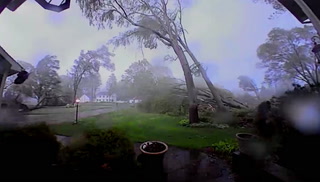
For your protection move to an interior room on the lowest floor of abuilding.High winds and large hail can spread quickly across open rangeland.
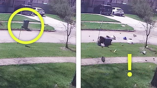
At 457 PM MDT, a severe thunderstorm was located 22 miles north ofHope, moving east at 25 mph.HAZARD...Ping pong ball size hail and 60 mph wind gusts.SOURCE...Radar indicated.IMPACT...People and animals outdoors will be injured. Expect haildamage to roofs, siding, windows, and vehicles. Expect winddamage to roofs, siding, and trees.Locations impacted include...Roswell Correctional Facility.