Alertes en vigueurBethlehem, LA
You should monitor later forecasts and be alert for possible FloodWarnings. Those living in areas prone to flooding should be preparedto take action should flooding develop.
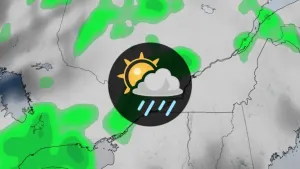
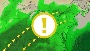
* WHAT...Flooding caused by excessive rainfall is possible.* WHERE...Portions of Louisiana, including the following parishes,Bienville, Caldwell, De Soto, Grant, Jackson, La Salle,Natchitoches, Ouachita, Red River, Sabine and Winn and Texas,including the following counties, Angelina, Cherokee, Nacogdoches,Panola, Rusk, Sabine, San Augustine and Shelby.* WHEN...From Thursday afternoon through Friday evening.* IMPACTS...Excessive runoff may result in flooding of rivers,creeks, streams, and other low-lying and flood-prone locations.* ADDITIONAL DETAILS...- Showers and thunderstorms will increase and become morewidespread by Thursday afternoon and continue through much ofFriday. Rainfall totals of 2-4 inches with localized higheramounts will be possible in the Flood Watch area.- http://www.weather.gov/safety/flood