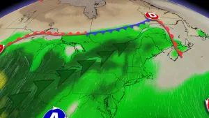
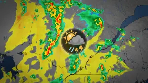
Alertes en vigueurLava Hot Springs, ID
If you are in the advisory area, remain alert to possible floodingor the possibility of the advisory being upgraded to a warning.Caution is urged when walking near riverbanks.Additional information is available at www.weather.gov/pocatello.
...The Flood Advisory continues for the following rivers in Idaho...Portneuf River at Topaz affecting Bannock County..Warm temperatures will continue to melt high mountain snowpack andkeep river flows elevated.* WHAT...Flooding caused by snowmelt continues.* WHERE...Portneuf River at Topaz.* WHEN...Until further notice.* IMPACTS...At 4.0 feet, Lowland and crop field flooding possiblefrom Pebble Creek to Inkom.* ADDITIONAL DETAILS...- At 10:15 AM MDT Thursday the stage was 4.0 feet.- Forecast...The river is expected to rise to a crest of 4.0feet this afternoon.- Action stage is 3.5 feet.- Flood stage is 4.0 feet.- http://www.weather.gov/safety/flood
Winds this strong can make driving difficult, especially for highprofile vehicles. Use extra caution.Secure outdoor objects.Boaters on area lakes should use extra caution since strong windsand rough waves can overturn small craft.
* WHAT...West winds 25 to 35 mph with gusts up to 50 mph expected.* WHERE...Driggs, Rockland, Richfield, Tetonia,Small, Heyburn, Downey, Dubois, Oakley, McCammon, Shoshone,Holbrook, Malta, Challis, Albion, Spencer, Edie School, Almo,Rupert, Carey, Howe, Mackay, Burley, Arco, Inkom, Ashton, LavaHot Springs, and Chilly* WHEN...From noon today to 8 PM MDT this evening.* IMPACTS...Gusty winds could make driving difficult, especially forhigh profile vehicles. Unsecured objects may be blown around.Strong winds and rough waves on area lakes will create hazardousconditions for small craft. Areas of blowing dust may reducevisibilities.* ADDITIONAL DETAILS...Arco/Mud Lake Desert, Lower Snake RiverPlain, and UpperSnake River Plain.Boaters on area lakes should use extra cautionsince strong winds and rough waves can overturn small craft.