Alertes en vigueurJersey, AR
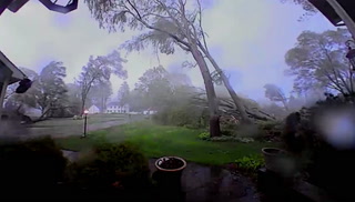
Be especially cautious at night when it is harder to recognize thedangers of flooding.Turn around, don't drown when encountering flooded roads. Most flooddeaths occur in vehicles.Motorists should not attempt to drive around barricades or drivecars through flooded areas.River forecasts are based on current conditions and rainfallforecasted to occur over the next 24 hours. During periods offlooding...Evening forecasts are reissued with updated rainfallforecasts.Observed and forecasted stage data plots are available on ourAdvanced Hydrologic Prediction Service web page at...www.weather.gov/lzkUnder the Current Conditions section...Select River and Lakes AHPS.The next statement will be issued Saturday evening at 800 PM CDT.
...The Flood Warning continues for the following rivers inArkansas...Ouachita River At Thatcher L&D affecting Bradley, Calhoun andUnion Counties.For the Ouachita River...including Jones Mill Dcp, Arkadelphia,Camden, Thatcher L&D...Minor flooding is forecast.* WHAT...Minor flooding is occurring and minor flooding is forecast.* WHERE...Ouachita River at Thatcher L&D.* WHEN...Until early Thursday morning.* IMPACTS...At 80.0 feet, Minor flooding occurs at this level. Leveegates should be closed to prevent the river from backing intoCalion Lake. Access to oil and gas rigs and to timber is flooded.There is wide coverage of flooding in the river bottoms.* ADDITIONAL DETAILS...- At 7:30 PM CDT Friday the stage was 80.5 feet.- Forecast...The river is expected to steadily fall into nextweek, falling below flood stage Tuesday evening.- Flood stage is 79.0 feet.- http://www.weather.gov/safety/flood