Alertes en vigueurEast Beach/Apffel Park #2, TX
If outdoors, consider seeking shelter inside a building.These storms may intensify, so be certain to monitor local radiostations and available television stations for additional informationand possible warnings from the National Weather Service.A Severe Thunderstorm Watch remains in effect until 900 AM CDT forsoutheastern Texas.
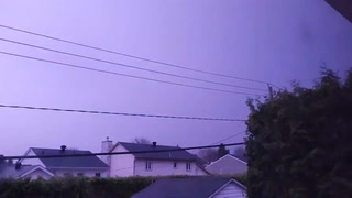
At 525 AM CDT, Doppler radar was tracking strong thunderstorms alonga line extending from Hamshire to near Danbury. Movement wassoutheast at 30 mph.HAZARD...Wind gusts up to around 50 mph and pea size hail.SOURCE...Radar indicated.IMPACT...Gusty winds could knock down tree limbs and blow aroundunsecured objects. Minor hail damage to vegetation ispossible.Locations impacted include...Galveston Causeway, Galveston Island West End, Texas City, Dickinson,La Marque, Santa Fe, Hitchcock, Galveston Pier 21, Bayou Vista,Jamaica Beach, Tiki Island, Liverpool, San Leon, High Island, ScholesField, Port Bolivar, Offatts Bayou, Galveston Pleasure Pier, PelicanIsland, and Galveston State Park.
Remain out of the water to avoid hazardous swimming conditions.
* WHAT...A high risk of rip currents, elevated surf and water levels.* WHERE...Gulf-facing beaches, including the MatagordaPeninsula, Brazoria County beaches, Galveston Island and theBolivar Peninsula.* WHEN...Through this evening.* IMPACTS...Dangerous swimming conditions.