Alertes en vigueurCaplis, LA
Do not drive cars through flooded areas.The next statement will be issued Sunday afternoon at 100 PM CDT.
...The Flood Warning continues for the following rivers inLouisiana...Bodcau Bayou At Bayou Bodcau Lake affecting Webster and BossierParishes.For the Bodcau Bayou...including Bayou Bodcau Lake...Minor floodingis forecast.* WHAT...Minor flooding is occurring and minor flooding is forecast.* WHERE...Bodcau Bayou at Bayou Bodcau Lake.* WHEN...Until further notice.* ADDITIONAL DETAILS...- At 8:00 PM CDT Saturday the stage was 181.2 feet.- Forecast...The river is expected to fall to 179.8 feetThursday evening.- Flood stage is 172.0 feet.
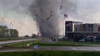
Winds this strong can make driving difficult, especially for highprofile vehicles. Use extra caution.Secure outdoor objects.
* WHAT...Southeast winds 10 to 20 mph with gusts up to 40 mph.* WHERE...Portions of north central and northwest Louisiana and eastand northeast Texas.* WHEN...Until 7 AM CDT Sunday.* IMPACTS...Gusty winds will blow around unsecured objects. Treelimbs could be blown down and a few power outages may result.